

GeoTrash: the fishing fleet as a litter sensor network
A mobile citizen science platform that lets fishers report marine litter with a photo and a GPS position, building a dense map of where it accumulates.
Marine litter, citizen scienceDo it for youCitizen scienceMobile appMarine litter
Challenge
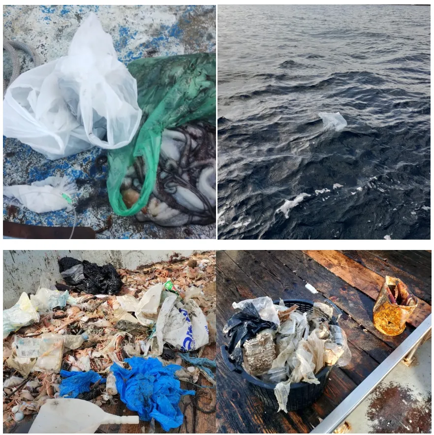
Marine litter is spread over thousands of square kilometres of open water. Research cruises can cover only a small part of it, a couple of times a year. Meanwhile the fishing fleet meets litter every day, but fishers had no practical way to report it and science had no way to receive it. The knowledge existed in the daily experience of the fleet, and it was never captured.
What we built
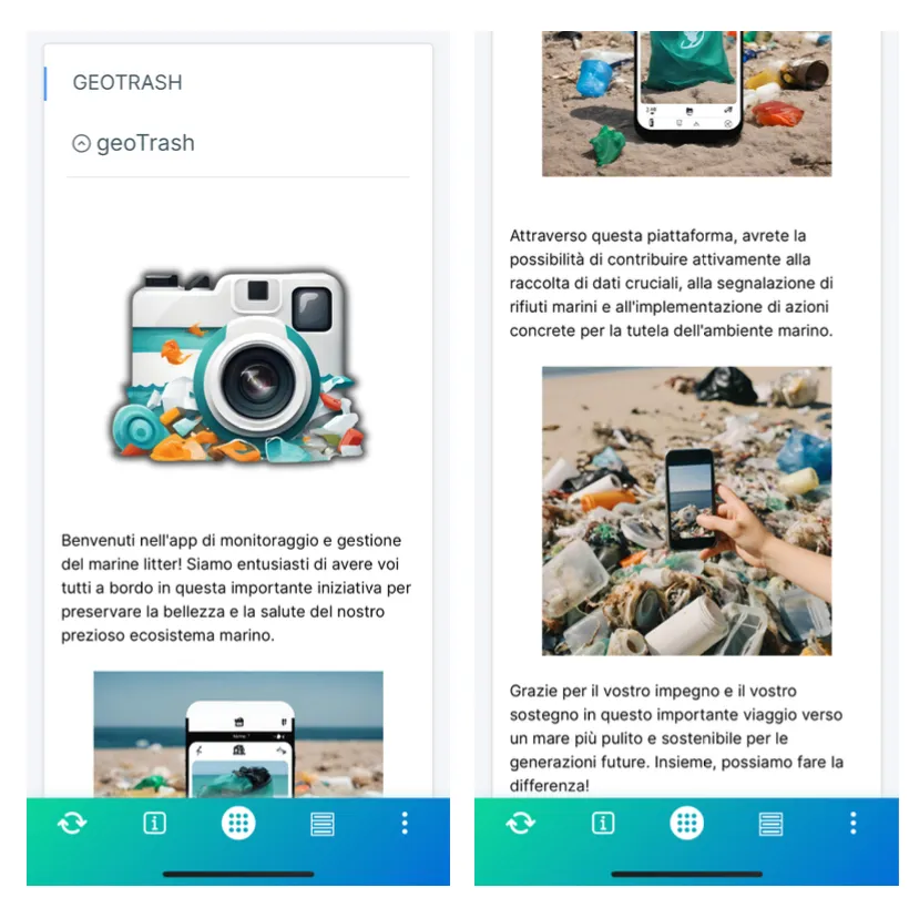
GeoTrash is a mobile app and web portal that turns the fishing fleet into a distributed monitoring network for marine litter in the Adriatic Ionian region.
Fishers and community members report a sighting in a few taps. The records build a continuously updated, georeferenced archive that scientists and managers can use to see where litter concentrates and which areas need priority action. The platform was deployed along the northern Apulian coast with dozens of fishing vessels across several harbours.
Key features
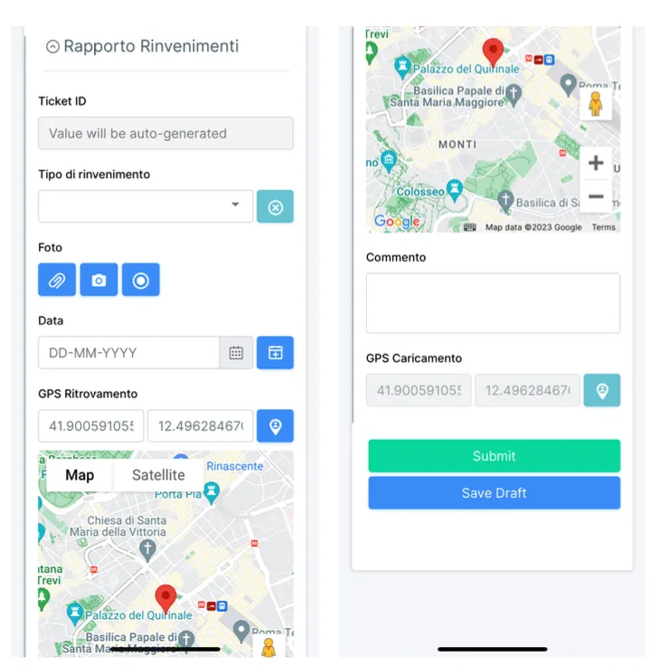
- Mobile reporting. Photo, GPS position, date and type of find, logged in a few taps.
- Dual classification. Each sighting is general refuse or ghost fishing gear, so two pollution pathways can be analysed separately.
- Works offshore. Reports can be saved as drafts and sent from harbour when connectivity returns.
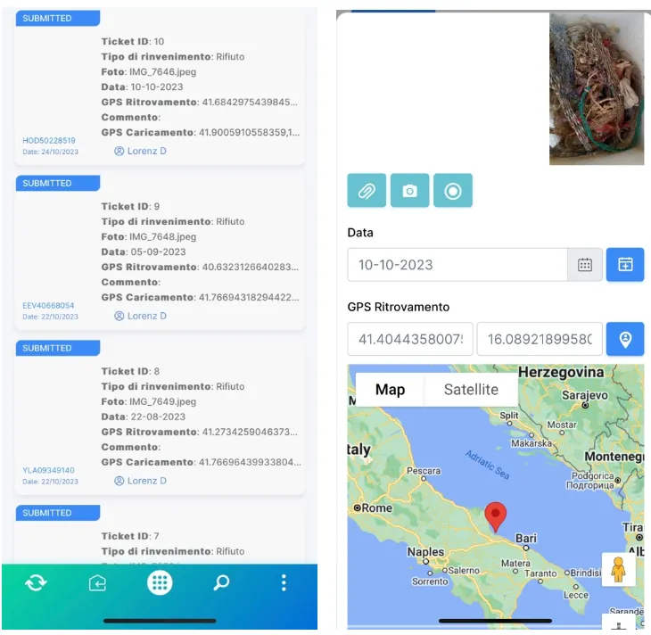
- Correctable history. Users can review, edit or delete past reports, for example to fix coordinates entered in a hurry.
- Admin portal. Administrators see all submissions, download the dataset and bulk upload historical records with an Excel template.
- Analytics dashboard. Totals, time series, breakdowns by type and vessel, and a live map of sightings.
How it works
- Community engagement: fishers and maritime operators were recruited and shown the scientific purpose and the protocol.
- A simple Android app, designed for use on deck in poor conditions.
- A minimum data protocol for every sighting, with an automatic ticket ID.
- Draft mode, because mobile data offshore is intermittent.
- A web backend that gathers all submissions.
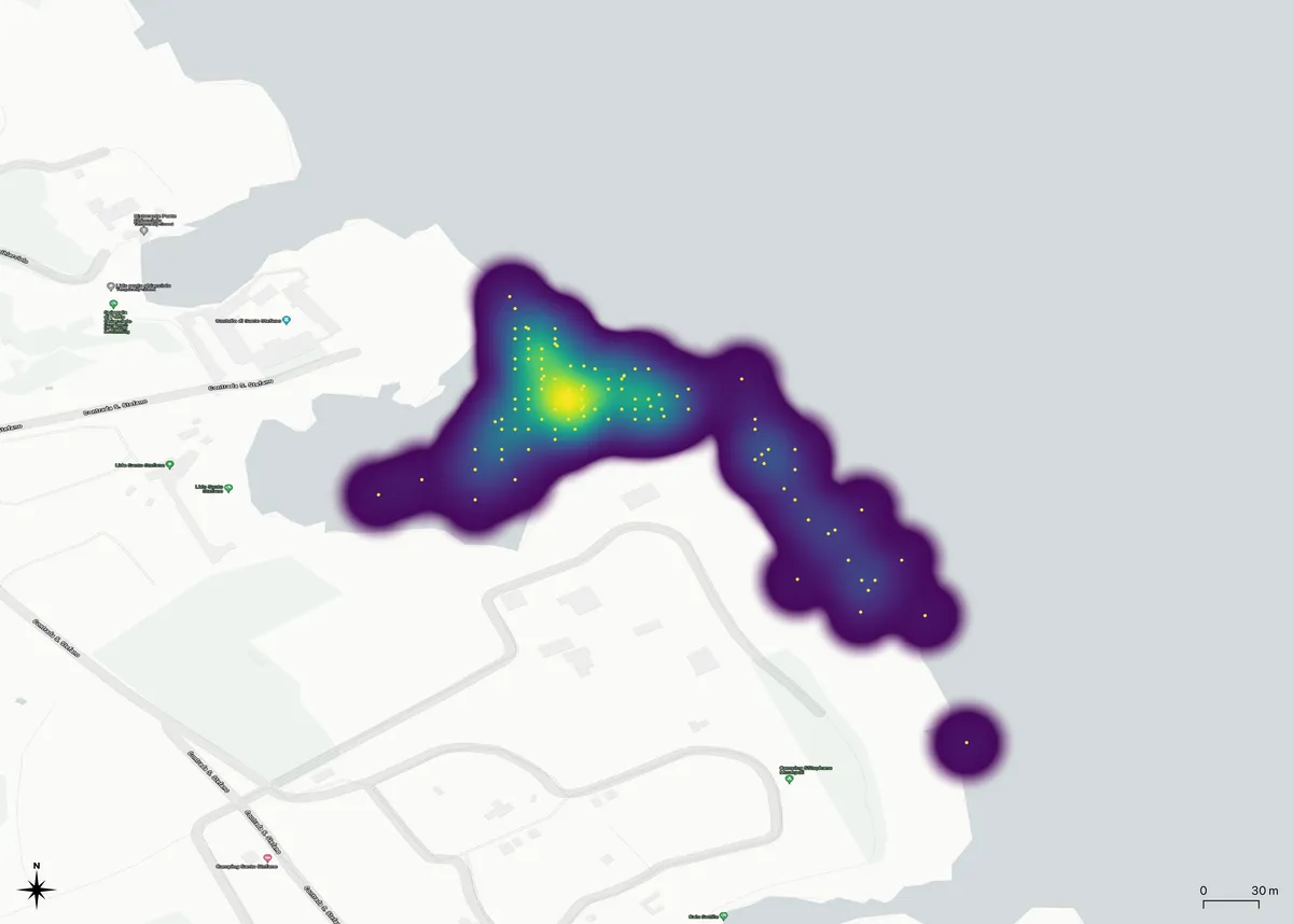
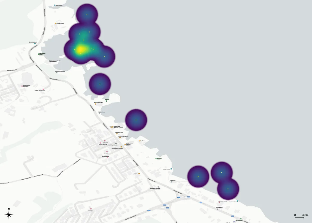
- Spatial analysis in R: hexagonal grids and kernel density maps for hotspots, at regional and locality scale.
- Results shared back with the participating fishers and with institutions.
Screenshots
Outcome
The campaign logged 766 georeferenced observations, averaging about 10 sightings a day with peaks above 30. Plastic dominated. Analysis showed a strong concentration near the shore, specific hotspot localities, and a line of open sea sightings along the shipping corridor, which suggests shipping adds to open sea litter independently of coastal sources. The most active vessels each submitted more than 45 observations while a few submitted fewer than 5, which now informs training and incentive design.
Scientific context
GeoTrash was developed within the EU Common Fisheries Policy pillars of Blue Growth and Environmental Quality. It addresses the gap between the ambitions of marine litter monitoring under the Marine Strategy Framework Directive and the practical impossibility of covering enough space and time with conventional surveys alone. Treating the fishing fleet as a distributed sensor network turns existing human activity into scientific infrastructure.
AndroidGPSPostgreSQLRGISLeaflet