

Artificial reefs: a fisher survey and a siting analysis
Ecological data management for a protected marine site: a survey of more than 50 fishers and a GIS analysis that proposes where artificial rocks could be placed on the seabed.
Marine protected areas and fisheriesDo it for youEcological data managementEnvironmental databaseGISFisheries
Challenge
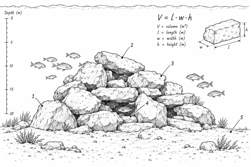
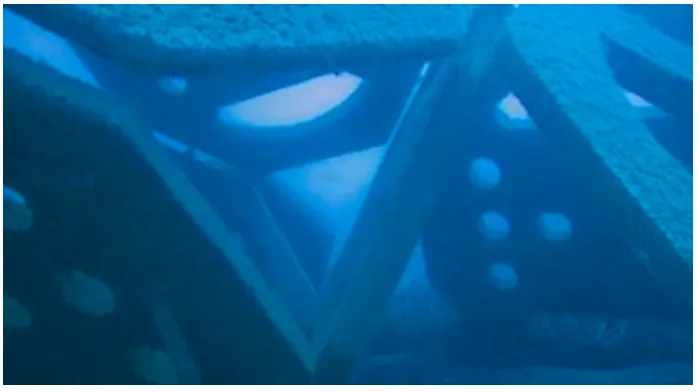
Artificial structures were planned for the seabed of a protected marine site, to help fish stocks recover and to discourage bottom trawling where it is not allowed. Before placing anything, it helps to know what the fishers who work there expect from it, and where the rocks would do most good.
What we built
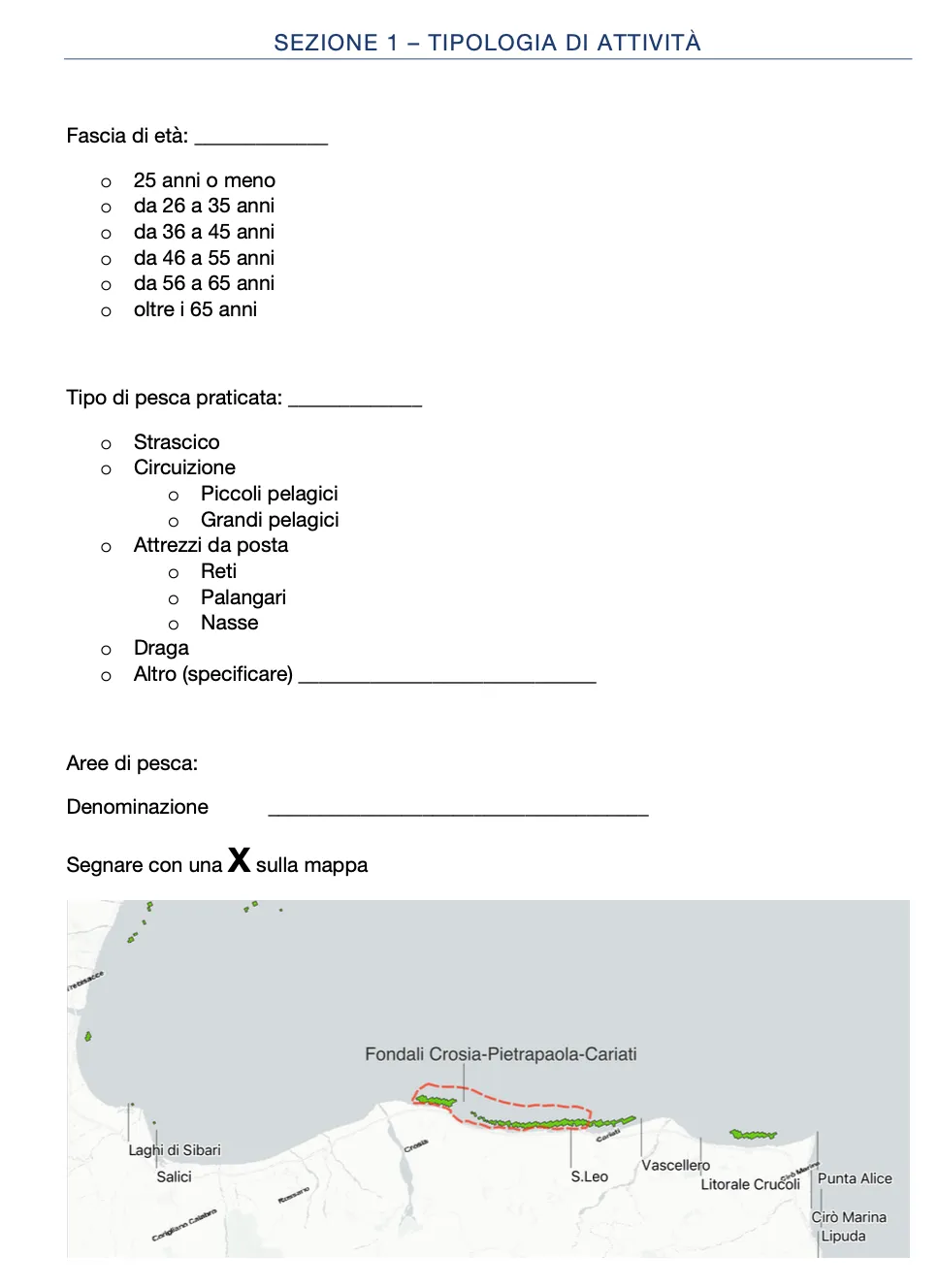
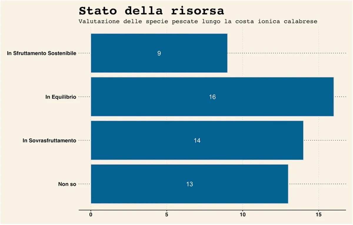
We prepared a questionnaire for fishers in three parts: their fishing activity, their environmental awareness, and the effects they expect from artificial reefs. Answers were anonymous, stored in a database and analysed in aggregate, so no answer can be traced to a person.
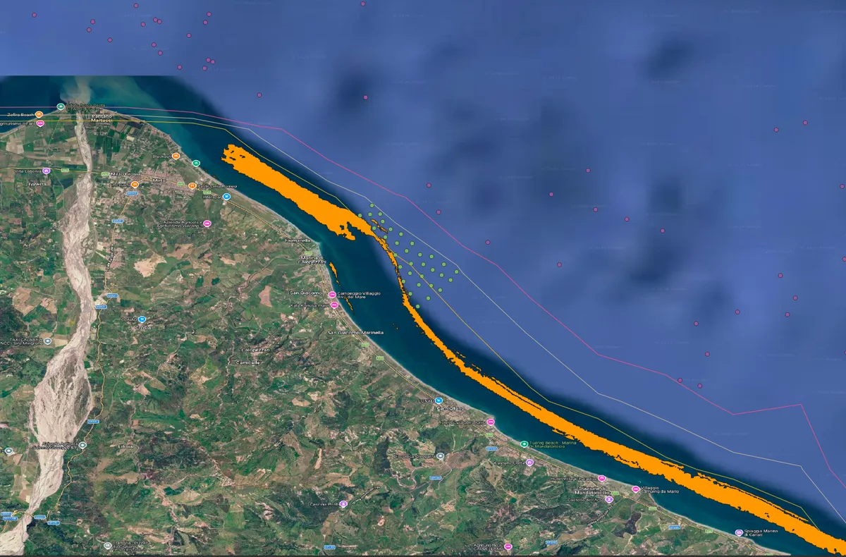
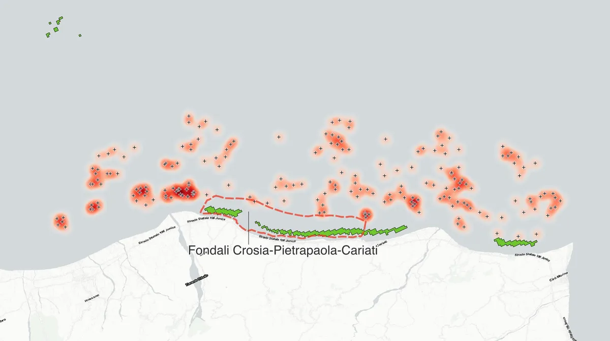
Alongside the survey we carried out a review of the scientific literature, processed the survey results and wrote the final report. A GIS analysis then looked for the best positions for the rocks at sea and produced a set of proposed locations.
Outcome
A survey of more than 50 fishers, a review of the scientific literature, a final report and a GIS analysis with proposed locations for the rocks. The work covered the evidence and the siting proposal.
QGISRExcel
Gallery
More case studies
Marine science and fisheries management
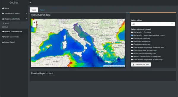
GeoSea: one geoportal for marine data
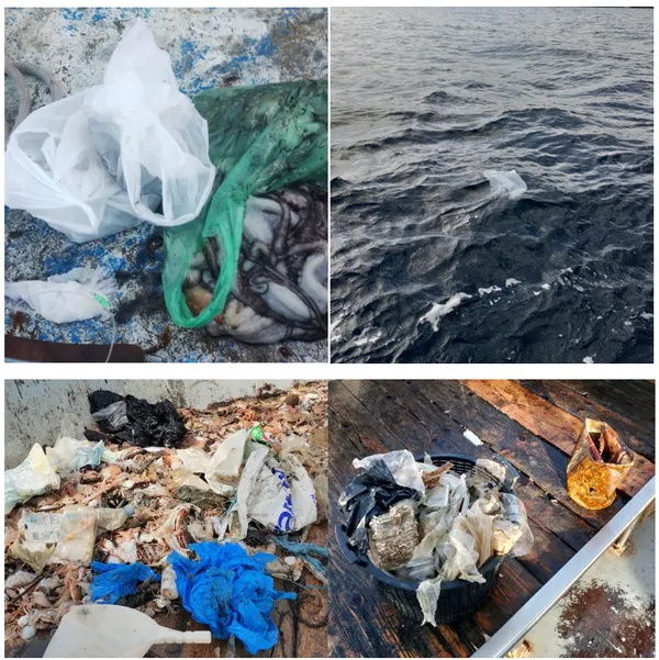
Marine litter, citizen science
GeoTrash: the fishing fleet as a litter sensor network
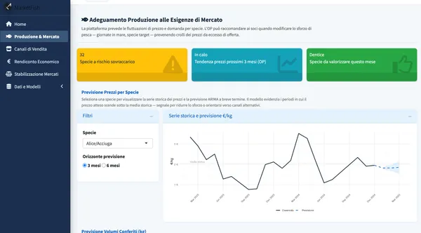
Fisheries, producer organisation
One platform for market analysis, forecasts and alerts
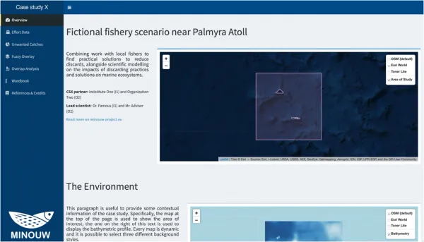
Fisheries, EU research
MinouwApp: a digital logbook for unwanted catches
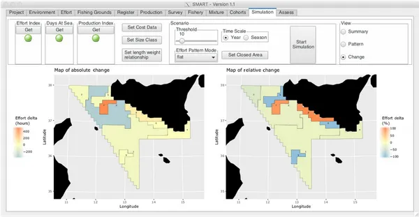
Fisheries management, EU research
smartR: test a fishing closure before it happens
Fisheries and marine research
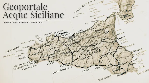
Knowledge based fishing: a platform for Sicilian waters
Marine litter, circular economy
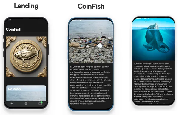
CoinFish: a virtual coin that rewards bringing marine litter ashore
Aquaculture and capacity building
OstricApp: an online network for Italian oyster farming
Offshore wind and fisheries
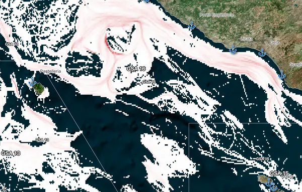
Where would the fishing effort go?
Where to go next